Length: 12.5 km (7.8 miles), terrain flat
Tampa Bay running routes:
St. Pete Bayside
Tampa Downtown
Pass-A-Grille Beach
For more running routes, see Route List.
Extra pictures courtesy of Google StreetView. Thanks!
The great thing about running in St. Pete is that it's a peninsula between Tampa Bay to the east, and the Gulf of Mexico to the west: you can run while watching the sunrise over the bay in the morning, and later that evening you can watch the sun set over the Gulf. I lived in St. Pete for three years, and have run about everywhere in town, back when I was an editor, then a writer for the Sunday magazine at the St. Pete Times. I get back as often as I can to this relaxed town.
 |
| Central Avenue in downtown St. Pete |
A word of warning: Florida is hot and humid. Even in the winter, you can overheat quickly. It's best to run in the early mornings before it has heated up too much. And in the summer, you can hardly run without stopping to jump in the water for a swim. But even that's not much help: you can sweat while swimming, the water is so warm!
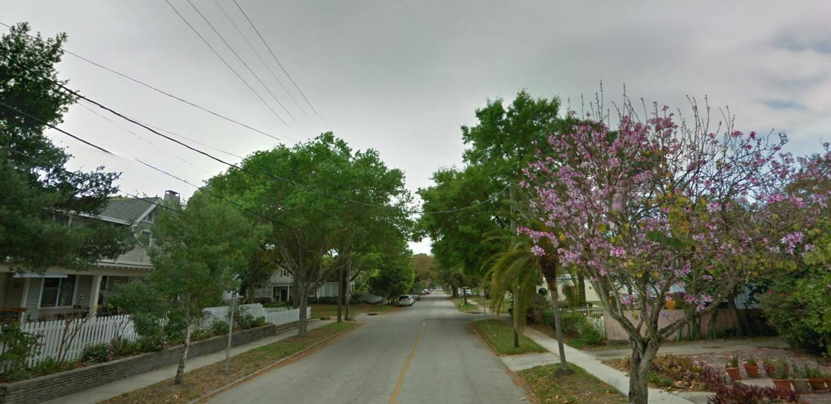
This route is what I consider the classic route in town, going from downtown, north through the scenic North-East section, then on through the mansions of Snell Isle, and back. Downtown St. Pete has gone through a wonderful metamorphosis in the last decades.
 |
| Pelicans at the St. Pete Pier, my own photo |
Now, the boarding houses have been bulldozed, and new businesses, restaurants and apartments have attracted a much younger crowd to the downtown.The latest recession pounded Florida in the solar plexus, but the businesses are flourishing again.
The Bayside Route
So that's where we'll start, right downtown at the waterfront, at Pioneer Park, at the corner of Central Avenue and Bayshore Drive. The bayside waterfront is beautiful along the whole stretch, so you can't go wrong here. We'll head north, with the water to the right side. The yacht club sits next door to Pioneer Park, and then we'll run past a marina on the right.
 |
| The bayfront |
NOTE: The city has demolished the old inverted-pyramid pier building, and it is being replaced by a new one, scheduled for opening at the end of 2019. Until then, the pier is closed for construction.
We'll keep running north on Bayshore, past the classic Art Museum and Straub Park, with more yachts on our right side.
 |
| The Vinoy Hotel |
 |
| Along Coffeepot Bayou |
Keep running along Coffee Pot Boulevard until the old draw-bridge leads you across the bayou to the right, off to the mansions of Snell Isle. Immediately after the bridge, turn right on Brightwaters, and stay on this beautiful street full of waterfront homes as it zigzags along the bayou arms.
 |
| The bridge over Coffeepot Bayou |
 |
| Brightwaters isn't so bad, either |
 |
| Homes along Brightwaters |
 |
| Along Locust Street |
 |
| My old place: hey why did I ever leave? |
 |
| The banyans along Straub Park |
No comments:
Post a Comment