Length 10.6 km (6.6 miles), terrain: a few light hills, 72-meter gain
Wolfsburg Running Routes:
Rabenberg Trail Run
Wolfsburg Scenic Route
For more running routes see the route list.
Wolfsburg is a fairly small city, just over 120,000 people. That has a great advantage for runners: you're never far from the edge of town, where you can find woods and fields in the rolling countryside. So, although the city is a purpose-built factory town, with everything modern and full of apartment buildings, you can quickly escape to some green.
 |
| Out in the Rabenberg countryside |
There is a great trail there, with 3 different lengths: 8-km, 10-km and 12-km. All three start out and end together, but the two shorter routes take short-cuts off the main loop. The Libellenweg (Dragonfly Way) is sponsored by the Wolfsburg city water works, and they added a water theme to the route, with it winding past the various springs, streams and ponds that feed the city water supply. They added a few wells, picnic tables and hand pumps at various spots where people can stop and enjoy the trail more. Most of the way is dirt roads and paths, with a few paved ones nearer to civilization.
This route follows the 10-km-long Libellenweg route, but you can just as well follow the longer- or shorter-one.
The Libellenweg route is marked by trail-markers with a blue square with a white dragonfly. And the three route variations are marked by additional colored dots: blue for 8-km, green for 10-km and red for 12-km. Where the routes overlap, there will be dots for each color. When it is just one or two routes together, you'll see just those dots.
 |
| Libellenweg trail marker |
 |
| Schillerteich with geese |
 |
| Start of the run out front of the VW Bad |
The trail now heads east, going through the parking lot and along the fence for the pool area.
 |
| VW Bad, nice hangout in the summer! |
 |
| Drei Steine, or at least two of them |
After just a short way, the Libellenweg leaves the main trail, at a boulder with the incription "Steimker Berg". The trail heads left and leads you to a scenic little stream valley often frequented by deer, the Hasselbachtal.
 |
| Heading to the Hasselbachtal |
This trail also curves around towards the west and then heads down and up little hills and out into open fields at the 4-kilometer mark. It zig-zags around a field and heads westwards into the woods again, along a dirt road called Grenztrift.
 |
| Heading through the fields |
The trail turns to the right (north) along the second real dirt cross-road, Herrenwiesen Weg and continues to the next crossroads.
Now turn right for just a short stretch till the next crossroads. This is where my favorite part of the run begins: the trail leaves the logging roads and heads along a narrow, muddy path winding its way into the woods. It will follow a tiny stream to some more springs and steep little hills at Erlengrund, perfect for mountain-biking.
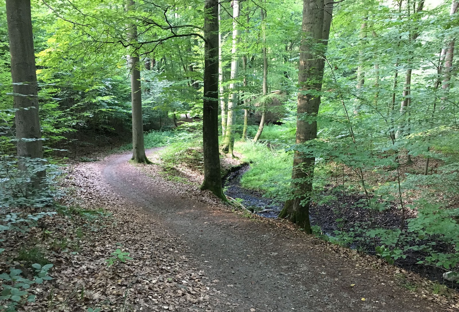 |
| Along the little stream |
 |
| One of the ponds |
Now you just turn left (north) to head back to Schillerteich and you're almost home.
No comments:
Post a Comment