Length 14.2 km (8.8 miles) but you can shorten it by starting further north, terrain: a few small hills, gain 63m
NOTE: Do this route in the mornings when its cooler and the other tourists haven't started filling the promenade. Make sure you're back home by about 9:30 a.m.
Anyone staying in the tourist resorts of Tenerife's Playa de Las Américas area knows how busy and urban the whole place feels. So if you're looking to get away from the chaos to a bit more quiet and nature, just head north. The farther north you get, the more nature you'll find, and fewer people.
This route follows the beach promenade as far as it goes, 7 kilometers north to La Caleta from Los Cristianos. But you could begin wherever you are staying: Los Cristianos, Playa de Las Américas, San Eugenio, Torviscas or Costa Adeje.
 |
| Camisón in Los Cristianos |
So, just turn west, with the water to your left side, and keep on running until the sidewalk ends at La Caleta!
At first, you'll go by a surfing beach, El Cabezo Grande, before the trail heads northwards.
 |
| Surfers at a surf school at Playa de Las Américas |
For much of the run -- especially after Puerto Colon -- you'll have a choice of running along any of one-, two- or even three levels of promenades, or even head through the beach sand. It doesn't really matter which level you take, there are frequent steps to switch levels as you please.
After Playa de las Americas, Calle Francisco Rumero ends when it comes to a channelized, dry river, the Barranco del Rey. The promenade turns to the right to take you to Avenida Rafael Lluvina (unless you want to run straight onto the sand beach).
 |
| Typical promenade scene at Troya |
Now you're running past sand again, until Playa del Bobo ends, then comes a scenic stretch where the promenade rises up above some rocky cliffs with cool beach clubs built into the rocks.
 |
| Las Rocas Beach Club |
When running along the avenue, you'll be up high, above the level of the port and beaches. When you cross over a street that rises up the hill below you, take the stairs down to the lower level at the sign for "Centro Commercial Puerto Colón". This will take you down to the boat docks.
 |
| Approaching Puerto Colón: take those steps to the right! |
 |
| At the harbor |
 |
| Fañabé and the rocks |
NOTE: my favorite way to go in Fañabé is to run down to the sand and then continue over the rock ledges below Fañabé Beach Club. You'll have to slow down in a few dangerous spots, so watch out! And a few homeless people live under the rock ledges, so women might not want to run alone down there.
When you round the Fañabé Beach Club -- either above on the promenade or down on the rocks -- you'll have a great view of El Castillo del Duque, a stone mansion built out on top of the next rock outcropping. It's owned by local celebrities.
 |
| Castillo del Duque as seen from Fañabé rocks |
 |
| Time for a mojito break, right? |
Either way, you'll now come to the area's best beach, Playa del Duque. It's lined with exclusive resorts and shops.
 |
| Playa del Duque |
 |
| Beach under construction |
 |
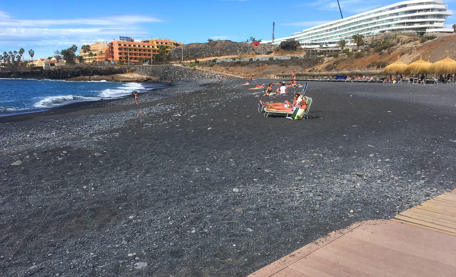
| The pebble beach, with Las Palomas in the background |
There is just one more resort, the H10 Costa Adeje, then the promenade ends at Playa de La Enramada, just before La Caleta.
 |
| Enramada: end of the promenade |
So that's it, time to turn around and head home. You get to enjoy it all from the other direction now. Enjoy!
No comments:
Post a Comment