Click here for route map
Length 6.5 km (4 miles), terrain: flat
NOTE: You could also follow the east bank of the river, and it's beautiful too, just a bit less nature and more town.
Everyone likes a comeback story. And this route traces one of the great comebacks of our time: a polluted river in one of the most industrialized spots on the planet is now lined by nature preserves and full of wildlife.
I'm talking about the Ruhr River, which gives its name to the Ruhr Region, the heart of Germany's industrial heartland. It's the most densely populated area in Europe, once full of coal mines and steel mills.
 |
| A bit of paradise in the middle of the Ruhr |
Most of those old factories have closed now, and the area -- like similar ones in industrial countries all over -- has been fighting for its economic life since then. But the recovery has been pretty successful, and the river has been cleaned up.
Mülheim, located along the Ruhr between Duisburg and Essen, bears witness to this comeback. You can run along both banks of the river and enjoy nature the whole way.
This route follows the west side of the river from the town center, southwards to the Ruhrstrand park in Saarn.
 |
| Start in Müga Park |
We'll start the run in the Müga Park, a beautiful oasis just across the river from the little basin of the town harbor. Müga sits on reclaimed land, once used for railway sidings, and next to the old castle, Schloss Broich, originally built to defend the area against Norman Viking raiders. Maybe take a look at the castle before you take off on the run!
 |
| Schloss Broich castle courtyard |
So get yourself to Müga, just north of the Schloßbrücke (Castle Bridge). Close to the river, you'll see a little square fountain pond, our starting point. Now turn south and run out of the park with the river to your left, past the Stadthalle event center.
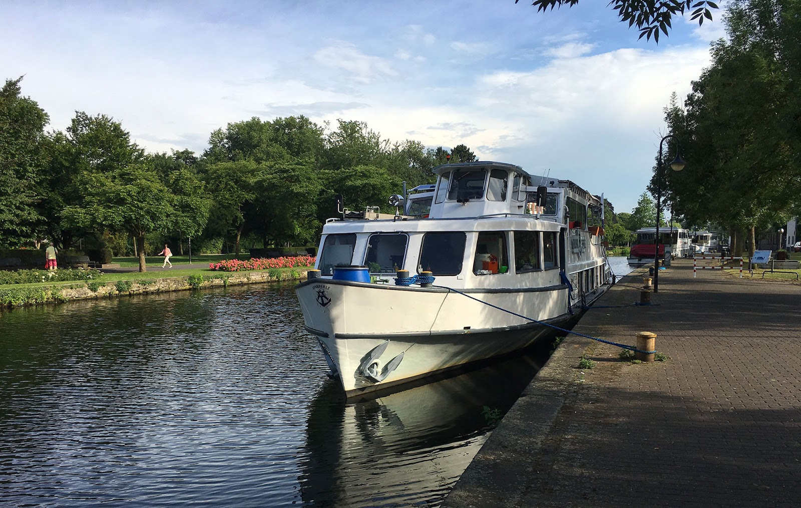
 |
| Paddle boats at the Mülheim harbor |
After running under the bridge, the path turns into a boardwalk skirting the river, then continues along a paved path, the Gerbersteg.
 |
| Gerbersteg |
To your left, you can already see the paradise-like wetlands in the middle of the river, where water trickles between countless little green islands.
There are a few apartments lining the path here on the right, with a great view.
The path ends at a wooden footbridge that leads to an island in the river. Cross the bridge, towards that big stone pumphouse that houses hydro-electric turbines over a dam.
 |
| Bridge to the pumphouse |
At the pumphouse -- also the 1-kilometer mark, turn right and continue southwards along the narrow island.
NOTE: Maybe take a look at the neighboring island, the Schleuseninsel, just behind the pumphouse: here's the Wasserbahnhof (Ferry Station), where river tour boats tie up, and there's a great biergarten located there under the shade trees at Franky's bar. This is the place to go any evening with nice weather!
 |
| Tour boat at the Schleuseninsel |
The island is covered with a mixture of fields, ponds and woods. Across the river, you'll see a few little riverside restaurants and kiosks.
 |
| Along the island trail |
After another 800 meters, the island ends, and a bridge over a dam will
lead to the right to get back to the west bank of the river.
 |
| The dam crossing |
Now, at the 2-km mark, continue southeastwards past more woods and meadows. This is one of the most natural parts of the run, with a little wetlands preserve off to the right side.
After the 2.5-km mark, the trail splits, with one part heading over to an island-like peninsula, the Ruhrstrand. Follow that trail to the right.
 |
| Ruhrstrand |
When you see the car bridge passing overhead at the beautiful half-timbered village of Saarn, turn around and head back to town following the way you came (or maybe cross the bridge and come back on the trail along the eastern bank of the river!).


No comments:
Post a Comment